Contacts
-
Adia Puja Pradana
Communications Specialist Ocean Program YKAN
Yayasan Konservasi Alam Nusantara
Email: adia.pradana@ykan.or.id
The Ministry of Marine Affairs and Fisheries (MMAF) is currently developing a national map to illustrate the distribution of two crucial coastal ecosystems: coral reefs and seagrass beds. Indonesia is one of the countries with the highest biodiversity and distribution of coral reefs and seagrass beds in the world.
The mapping project is being carried out in collaboration with The Indonesian Seagrass Mapping Partnership, funded by The David and Lucile Packard Foundation. This partnership includes Universitas Gadjah Mada (UGM), the National Research and Innovation Agency (BRIN), the Geospatial Information Agency (BIG), Hasanuddin University, and the University of Queensland, Australia, with support from Yayasan Konservasi Alam Nusantara (YKAN) through the Koralestari Program.

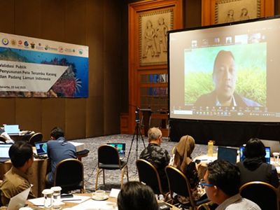
Firdaus Agung, Director of Ecosystem Conservation at MMAF, stated during the Public Validation Event for the Coral Reef and Seagrass Bed Mapping of Indonesia on July 22, 2025, in Jakarta, that the mapping has now entered the public validation phase. It is expected that the map will be launched by the end of 2025.
“This validation meeting marks the establishment of a stakeholder network to update Indonesia’s coral reef and seagrass bed data maps. It also supports national action plans and the development of national coral reef and seagrass ecosystem management activities,” he said.
According to Firdaus, the Indonesian coral reef and seagrass bed maps play a strategic role in supporting the implementation of the Minister of Marine Affairs and Fisheries Regulation No. 1 of 2025 on the Administration of Blue Carbon Economic Value (NEK) in the Marine Sector. This is especially vital for ensuring the availability of accurate and verified spatial data.

“This aligns with the mandate of the Minister of Marine Affairs and Fisheries Regulation No. 2 of 2025, which designates the Directorate of Ecosystem Conservation as the data custodian in implementing policies related to the proposal and management of conservation areas and their ecosystems. This includes blue carbon management, carrying capacity and load capacity assessments, utilization control, and conservation area utilization permits,” explained Firdaus.
Furthermore, the presence of this map is expected to contribute globally, in line with Indonesia’s commitment to addressing climate change and including seagrass contributions in the Nationally Determined Contribution (NDC) document. The marine sector, particularly seagrass, is expected to make an optimal contribution to achieving emission reduction targets.
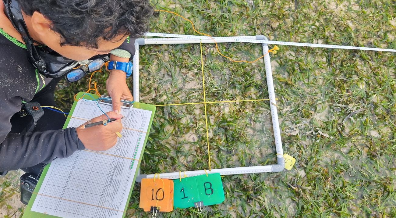
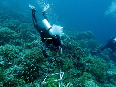
Public validation is a follow-up phase after field surveys conducted from 2024 to early 2025. The public validation process was conducted in a hybrid format, attended by 63 participants in person and 112 participants online, representing key stakeholders including central and regional government officials, universities, and conservation partners from across Indonesia.
Prof. Dr. Pramaditya Wicaksono from UGM, representing The Indonesian Seagrass Mapping Partnership, mentioned that the validation process is divided into groups based on Fisheries Management Areas (WPP) to optimize the compiled information. "This validation process is necessary to ensure that the maps created accurately represent each region in Indonesia. The map is targeted for shared use in the future," he said.
Meanwhile, Muhammad Ilman, Director of the Marine Program at YKAN, stated that the map is expected to serve as a vital foundation for sustainable marine management. According to Ilman, YKAN fully supports the mapping process as a strategic step to protect coastal ecosystems, as it is vital to food security, biodiversity, and community livelihoods. This support is made possible through the Koralestari Program, which is funded by the Global Fund for Coral Reefs (GFCR).

“Cross-sector collaboration in this mapping initiative is a tangible example of the synergy between science, technology, and policy for the future of Indonesia's oceans,” noted Ilman.
Yayasan Konservasi Alam Nusantara (YKAN) is a scientific-based non-profit organization that has been present in Indonesia since 2014. With the mission of protecting lands and waters as life support systems, we provide innovative solutions to realize the harmony of nature and humans through effective natural resource management, prioritizing a non-confrontational approach, and building a network of partnerships with all stakeholders for a sustainable Indonesia. For more information, visit ykan.or.id.


