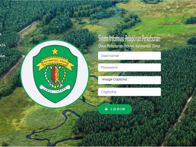
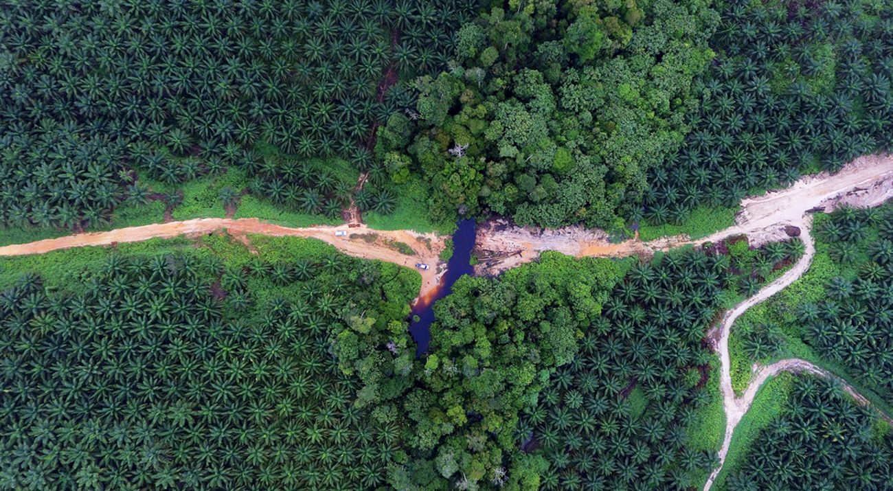
The East Kalimantan province is committed to sustainable development, which it realises through the “Kaltim Hijau” (Green East Kalimantan) development policy. Kaltim Hijau is an effort to economically transform the region from extractive to renewable industry, one of which includes sustainable plantation. Its real-world implementation includes improving East Kalimantan plantation data and information system. This effort is essential because actual, up-to-date, and easily accessible data would encourage transparency and accountability of plantation programmes, as well as their oversight process.
Spatial planning is becoming a critical approach in conservation efforts. Areas with potential conservation values that need protection must be studied more deeply using a spatial-based geographical system and spatial data. Available, accurate, and up-to-date spatial data is significant to spatial or regional planning.

However, one of the issues in spatial data is data availability and uniformity under one theme. The one map policy—a central government programme—has kickstarted the development of integrated, up-to-date, and accessible spatial data built by interested parties. This spatial data integration is being conducted slowly, trickling down to the provincial level until the village level.
Nevertheless, integrating these data faced a considerable challenge: the lack of spatial data at the lower government levels. Starting from the district level, limited knowledge in accessing and managing spatial data has caused the unavailability of data sources. This limitation, however, had become a driver to improve the plantation data and information system in East Kalimantan.
The Nusantara Nature Conservation Foundation (YKAN), in collaboration with the East Kalimantan Plantation Office and Berau Plantation Office, have introduced several approaches that use spatial data from activities at the village level up to policymaking. This effort was part of the Low-Emission Oil Palm Plantation Development Programme supported by the Federal Ministry for the Environment, Nature Conservation and Consumer Protection (BMUV-IKI). This information and data system was developed to build a web-based (online) spatial data management infrastructure called WebGIS Perkebunan (Plantation). Currently, the WebGIS Perkebunan is operational at the provincial level in East Kalimantan and the district level in Berau.
In addition to developing spatial-based information and data system, the Plantation Information and Reporting System (SIP-Kebun) and a field data retrieval system using an android-based application were also created.
The plantation digitisation in East Kalimantan is an effort to improve the data information system towards sustainable plantation. Why? Because good data source helps plan and implement a good plantation programme. And accurate data leads to the development of a suitable plantation.


