Media Contacts
-
Adia Puja Pradana
Communications Specialist Ocean Program YKAN
Yayasan Konservasi Alam Nusantara
Email: adia.pradana@ykan.or.id
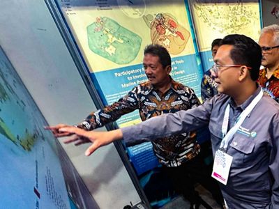
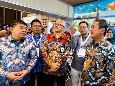
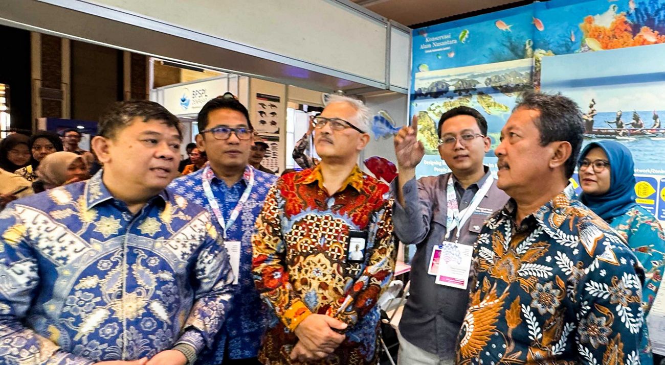
Marine and coastal spatial planning is a critical factor in the design of conservation areas. This emerged as a significant topic of discussion during the 6th International Marine Spatial Planning Forum, held in Bali from October 8-11, 2024. At this event, Yayasan Konservasi Alam Nusantara (YKAN), through its Marine Program, shared lessons learned in supporting marine and coastal spatial planning, which is a priority effort by the Indonesian government to bridge marine management by integrating a balance to enhance community welfare and protect marine biodiversity.
"The sea is a source of life. Therefore, marine spatial planning is a crucial factor in protecting ecosystem sustainability and supporting sustainable management for future generations," stated Indonesia's Minister of Marine Affairs and Fisheries, Sakti Wahyu Trenggono, at the event.

As a signatory to the Convention on Biological Diversity, Indonesia is committed to implementing recommendations for protecting and conserving biodiversity at the national level, contributing to global agreements and efforts.
Indonesia aims to meet the Kunming-Montreal Global Biodiversity Framework Target 3. To achieve this, Indonesia has initiated the 30x45 Marine Conservation Area Vision, whereby in 2045, 30% of Indonesia's coastal and marine areas will be allocated for the protection and conservation of biodiversity and resources to support Indonesia's long-term development over the next 100 years.
To achieve this vision, the Ministry of Marine Affairs and Fisheries of the Republic of Indonesia formed a technical team supported by YKAN and relevant stakeholders to conduct spatial planning activities. These efforts aim to identify critical areas across Indonesia's waters, which can be allocated for developing new conservation areas or expanding existing ones.

The spatial planning efforts revealed that approximately 117 million hectares of coastal and marine waters could be allocated as marine protected areas. This figure exceeds the 30% target (97.5 million hectares) by 2045. This effort anticipates potential conflicts with development activities in coastal and marine areas. The designated areas are of high conservation value in Indonesia and have relatively low conservation costs, meaning that potential conflicts have been considered during the design process.
Integration of Technology and Community Involvement in Conservation Area Design
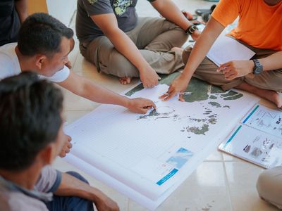
In conservation area planning, community involvement as resource users is crucial. This is known as participatory mapping. "Participatory mapping involves communities and stakeholders as primary sources of information about their area's characteristics, conditions, resource utilization activities, and conservation threats. The process is carried out through discussions facilitated by facilitators and map creators to gather information from the community, guided by questionnaires and base maps. The information gathered from the community is then translated into two-dimensional maps," explained YKAN's Senior Marine Protection Manager, Yusuf Fajariyanto.
Yusuf added that through participatory mapping, areas for fishing, aquaculture, marine tourism, sightings of marine mammals and endangered and protected species, sea turtle nesting beaches, threats to resources, other uses of marine areas, local knowledge, and other thematic information can be mapped. This information will be used to develop spatial planning and design conservation areas.
The integration of technology is also essential in conservation area design. One example is mapping shallow-water habitats such as coral reefs, seagrass beds, and mangrove forests using remote sensing technology and machine learning, complemented by field verification.
Coral reefs alone are home to approximately 25% of all marine species. The complex structures of seagrass beds and mangrove forests also support the life of diverse marine biota. These habitats provide critical services, including supporting marine biodiversity, protecting shorelines, and sustaining local economies through fisheries and tourism.

Traditional habitat mapping methods can be time-consuming and need more coverage. Remote sensing technology offers a more efficient and comprehensive approach.
"Effective management of conservation areas requires reliable data on the distribution and condition of habitats. Shallow-water habitat mapping through remote sensing provides a foundation for decision-making by offering detailed and accurate spatial information. This information is critical for identifying areas prioritized for protection. This is one of YKAN's efforts to support the establishment of new conservation areas and improve the management of existing ones," concluded YKAN's Marine Program Director, Muhammad Ilman.
Yayasan Konservasi Alam Nusantara (YKAN) is a scientific-based non-profit organization that has been present in Indonesia since 2014. With the mission of protecting lands and waters as life support systems, we provide innovative solutions to realize the harmony of nature and humans through effective natural resource management, prioritizing a non-confrontational approach, and building a network of partnerships with all stakeholders for a sustainable Indonesia. For more information, visit ykan.or.id.


