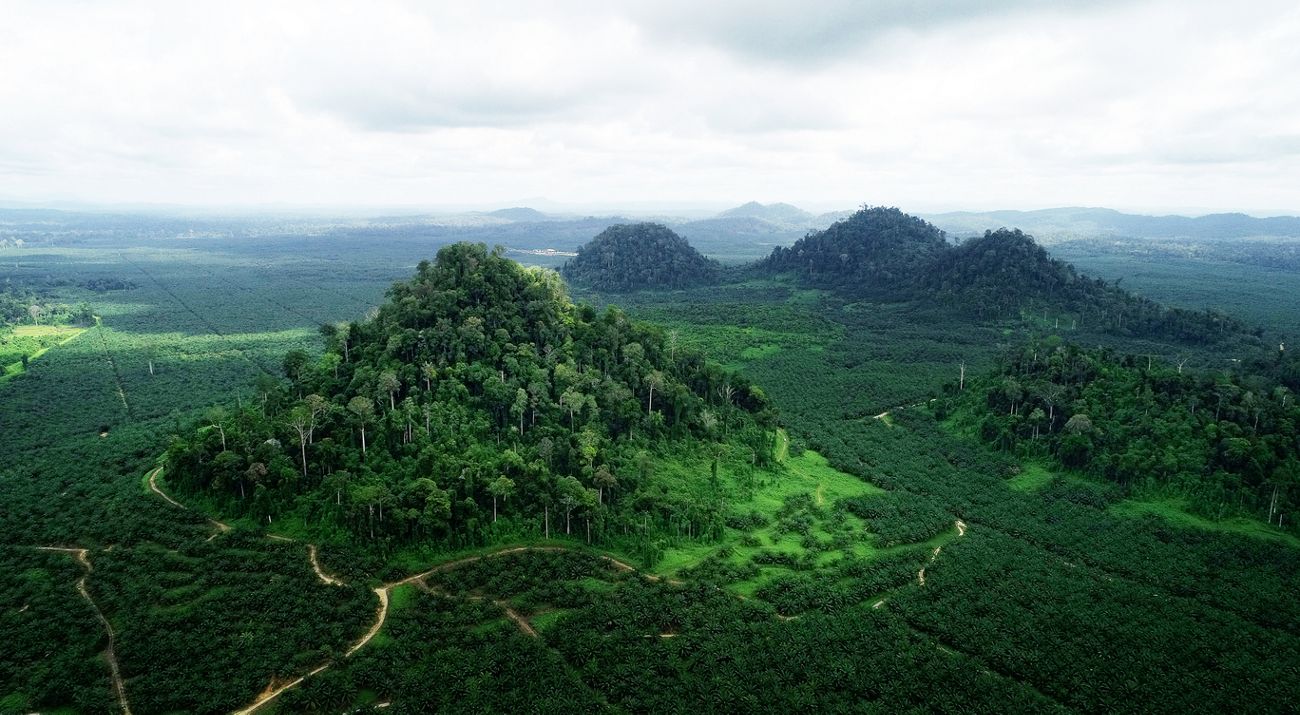
The land-based business sector, such as plantation, is a constantly growing industry in the East Kalimantan province. Based on 2016 Bylaw (Perda) No. 1 on the Provincial Spatial Planning or RTRWP, the allocation reserved for plantation is 3.2 million hectares or 25 per cent of East Kalimantan’s land area. Unfortunately, during the business sector’s development stage, investors often encounter issues such as unclear and uncertain land legal status. In addition, the permit issuance process takes much time and money. Meanwhile, investors need certainty in investing.
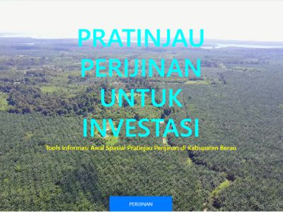
Referring to the principle of business certainty, the Berau District government has developed an app to Preview (Pratinjau) Land-Based Permit Proposals. The Berau administration developed this app together with the Nusantara Nature Conservation Foundation (YKAN) and the Deutsche fur Internationale Zusammenarbeit or the German Agency for International Cooperation (GIZ) through the Low-Emission Oil Palm Development (LEOPALD) project. The app aimed to facilitate the analysis of land-based business permit proposals to be simpler, faster, and online. In 2021, the district administration issued a legal base for the app through the Berau District Head Decree (SK) No. 213 on the Management and Use of Proposed Land-Based Permit Preview (Pratinjau) App.

The database for the Pratinjau app originated from data clerks in regional offices within the Berau District administration, vertical agencies, and other relevant sources. These data are then managed and stored in Berau’s data portal. As a result, investors who would like to submit a new land-based business permit can check the prospective land/location status through the Pratinjau app.
Users can also retrieve preliminary information about the proposed location through the app to determine if it adheres to the regional Spatial Planning (RTRW)’s land allotment spatial data. In addition, the app can provide information when there is a discrepancy, for example, a conflicting number for the total area. Based on the forest area data, permit applicants can also confirm the land status, whether it is in a forest or non-forest area.
In terms of permits, users can see if there is an overlap in permit issuance and information on the condition of the land coverage. Applicants can also ensure that their proposed location is under the appropriate land 1 (one) class—especially for plantation business applications, both in actual and potentiality. Lastly, applicants can also get information if the proposed location is within the Indicative Map for High Conservation Value Areas (ANKT) 2 or not (especially for plantation business applications).
Based on available data, the analysis result would take the form of preliminary imaging of the proposed location. Since it is still in a rudimentary information format, this application also provides recommendations for follow-up, which is directed to Berau’s One-Stop Integrated Investment and Permit Office (DPM-PTSP). However, to get the final product of the permit document, applicants need to follow the regulations based on the type of permit. For example, a plantation permit must follow the terms specified in the Plantation Law (UU), and a mining permit must refer to the Mineral and Coal Mining Law.
The public can already view the Pratinjau App for Permit Proposals at the link: http://pratinjau.beraukab.go.id./.


