Collaboration in Supporting Management of Marine Conservation Areas in Teon Nila Serua, Maluku
Maluku Province is known as the province of a thousand islands. Its islands are famous for the variety of spices that have attracted the world’s attention since the 7th century. The water in this province is uniquely rich with marine biodiversity, because it is the conjunction of the Seram Sea (in the north), the Indian Ocean and the Arafura Sea (in the south).
Read: Support Kayan Landscape Management Through Partnership
The Ministry of Marine Affairs and Fisheries (KKP) stated that the potential of fishery resources in this province can reach 3.9 million tons per year or equivalent to Rp. 117 trillion. Central and Southeast Maluku regencies are two areas that contribute significantly to fishery production.
To ensure the protection and sustainability of marine resources, the Maluku Provincial Government strengthens the management of marine and fisheries through the development and effective management of Conservation Areas (KK). Maluku Province allocates 33 KK with an area of approximately 4.7 hectares spread across its waters, and especially in the Central Maluku Regency (22%) and Southwest Maluku Regency (35%).
Through the marine program, Yayasan Konservasi Alam Nusantara (YKAN) supports the provincial government efforts in managing KK in Maluku Province. In September 2024, YKAN and the Maluku Province Marine and Fisheries Agency (DKP) agreed to collaborate in managing KK in the waters of the Teon Nila Serua Islands, Central Maluku Regency. The Teon Nila Serua waters located in the Banda Seascape and is a part of the world's Coral Triangle. These waters are the second priority area after the Bird's Head Seascape and are one of the areas contributing to Indonesian fisheries.
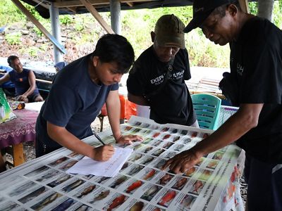
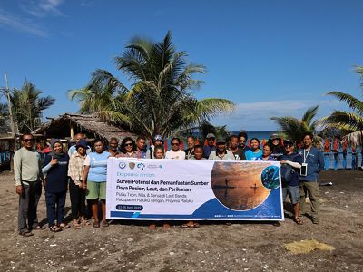
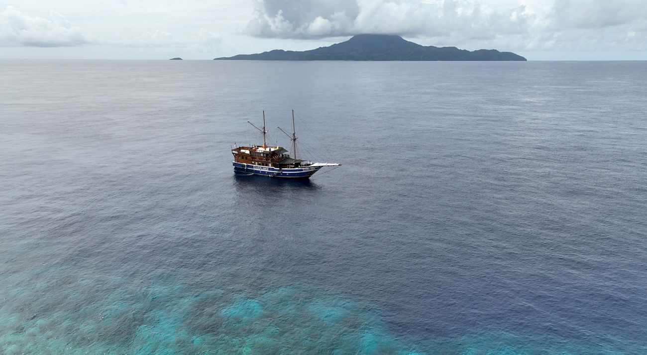
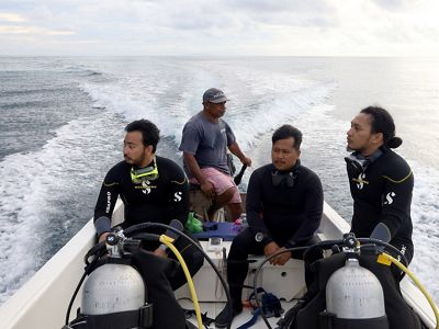
On April 15-31, 2025, YKAN together with the DKP Maluku province, Pattimura University, the community and other partners conducted a scientific expedition in these waters. Through this expedition, YKAN and partners conducted a comprehensive biophysical, biodiversity, socio-economic, cultural, governance and spatial mapping survey.
YKAN supports community-based fisheries management planning with the TURF (Territorial Use Rights for Fishing) system, which is management carried out by local fishers over a certain water area. In this process, YKAN encourages a citizen science approach as a key element, where the community is actively involved in data collection, mapping, and monitoring ecosystem conditions. It is hoped that this scientific research will not only be technically accurate, but also socially and culturally relevant.
Data from this survey will be used to support community-based coastal and marine resource management and sustainable small-scale fisheries.
