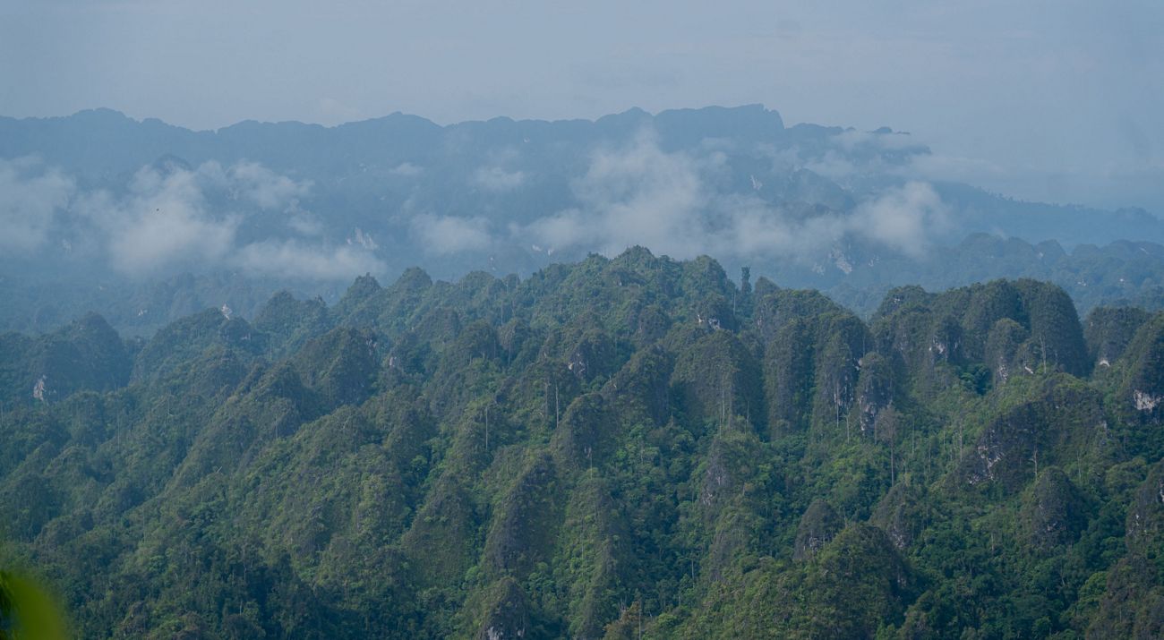
The Sangkulirang-Mangkalihat Karst is the largest karst ecosystem in Kalimantan, spanning about 1.8 million hectares from Berau to East Kutai District in East Kalimantan Province. It is a unique landscape rich in tropical forest biodiversity and cultural heritage, including prehistoric hand stencils on cave walls.
Read: Mangrove Forests, The Best Carbon Stores
Together with local government, YKAN has advocated for the protection of this karst landscape and its recognition as a geopark. Since 2019, with the support of YKAN, the East Kalimantan Provincial Government has initiated the process of nominating Sangkulirang-Mangkalihat Karst as a geopark, starting with an inventory of its geological diversity.

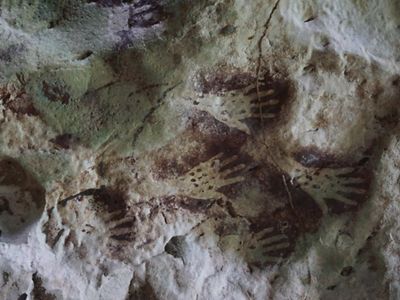
In 2024, the Ministry of Energy and Mineral Resources issued a decree designating 26 geological heritage sites across the karst landscape—15 in Berau and 11 in East Kutai. This milestone paves the way for the area’s nomination as a National Geopark and eventually as a UNESCO Global Geopark.
We remain committed to supporting government efforts to protect this extraordinary natural and cultural heritage. Through collaboration with multiple stakeholders, including local communities, we continue to back the vision of establishing Sangkulirang-Mangkalihat as a geopark.
